
01
Groundwater modelling
5 tools
- MODFLOW (USGS)

- FEFLOW 7+ (DHI-WASY)

- MODPATH · MT3D-MS · SEAWAT

- AquaChem (hydrochimie)

- HYDRUS 1D/2D


From geophysical diagnosis to numerical modelling, our arsenal covers the full hydrogeological study chain.
A fleet of latest-generation measurement and acquisition instruments, deployed on our missions. Click an item to enlarge it.
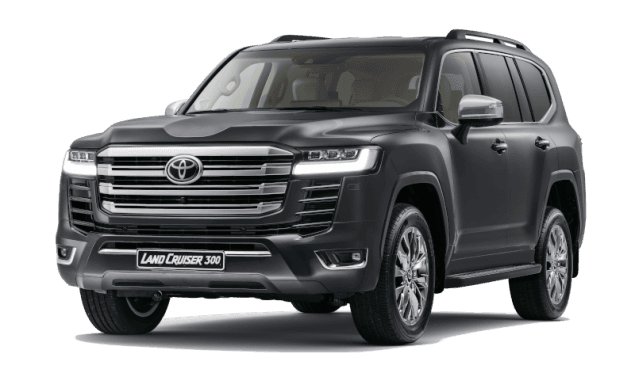
Toyota Land Cruiser V8
4×4 all-terrain vehicle — maximum mobility across all sub-Saharan African terrains, from the Sahel to coastal zones.
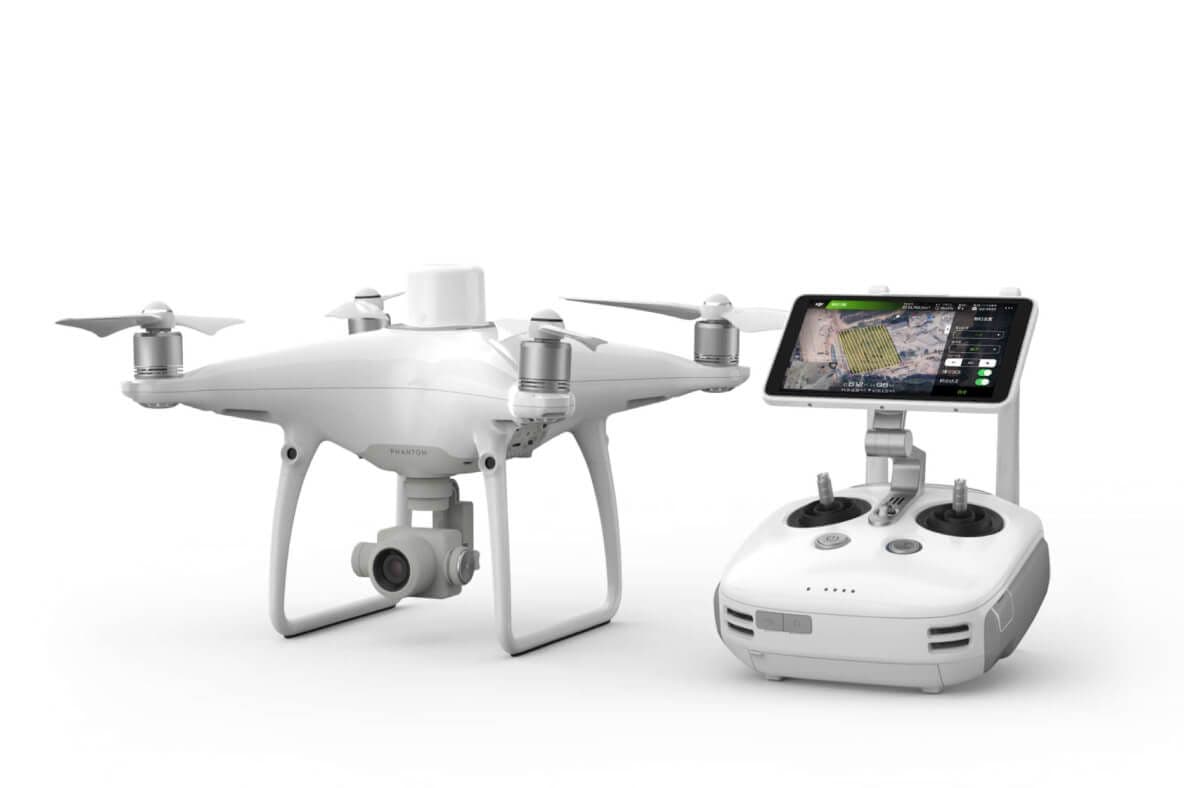
DJI Phantom Drone + RTK GPS
Photogrammetry, high-resolution orthophotos, centimetric DTM and multispectral analyses.
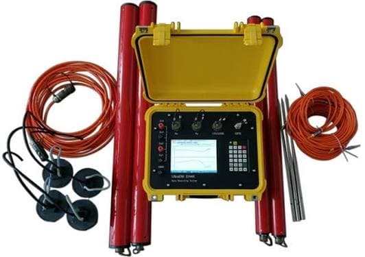
AMT & HSAMT (GD-4)
Audio-magnetotelluric acquisition system for deep imaging of geological structures and aquifers.
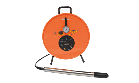
BGK5 Borehole Geophone
Seismic borehole logging probe for dynamic subsurface characterisation and structure inspection.
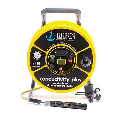
Heron Conductivity+ Probe
Water level, temperature and conductivity in boreholes — millimetric precision.
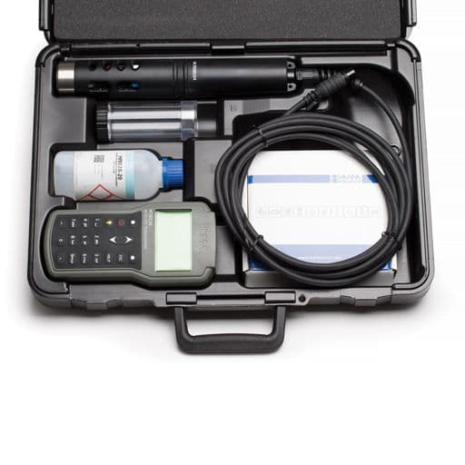
Multi-parameter probe
pH, conductivity, temperature, dissolved O₂, turbidity — real-time in situ measurements with calibration case.
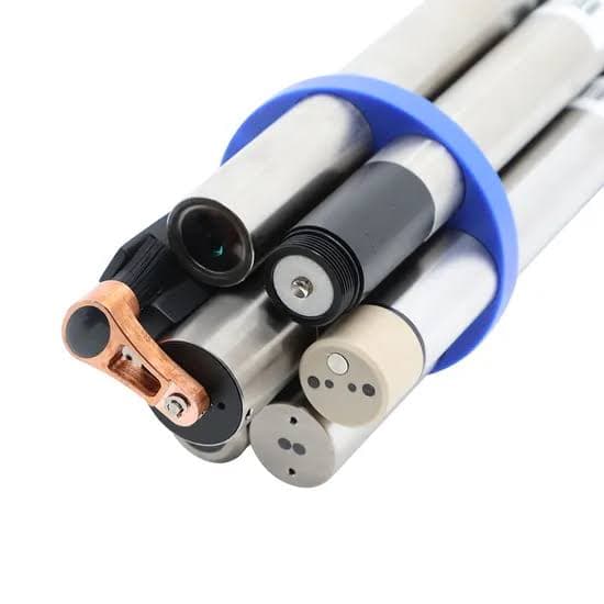
Interchangeable sensors
Set of interchangeable multi-parameter sensors for groundwater and surface-water quality monitoring.
A reference software suite, structured by field of expertise — from aquifer modelling to spatial mapping and infrastructure design.
5 tools
5 tools


5 tools


5 tools


Every assignment draws on a proven arsenal of geophysical, numerical and mapping methods — selected and combined to suit each context, ensuring reliable diagnostics and lasting solutions.
2D/3D subsurface imaging to map aquifer formations, heterogeneities and contamination zones.
Deep aquifer detection, saltwater intrusion mapping and conductive formation characterisation.
Schlumberger method for geological horizon discrimination and aquifer delineation.
Multi-scale mapping, spatial analysis and georeferenced database management.
Photogrammetry, high-resolution DTM, orthophotos and multispectral analyses via RTK drone.
Steady-state and transient groundwater flow simulation — calibration, validation and prediction.
Every study is calibrated with the most suitable tools. Tell us about your context — reply within 48h.
Contact us