
Scientific rigour, applied to your projects
 Water & hydrogeology
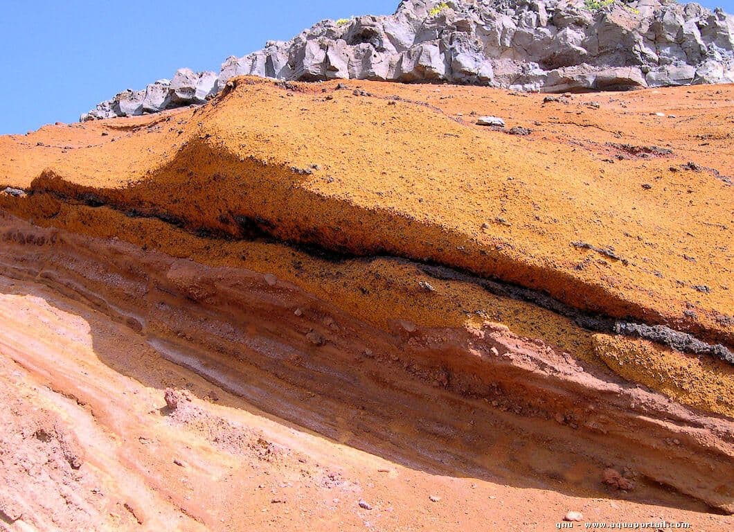
Hydrogeology & water resources
We characterise, model and secure groundwater and surface-water resources to make supply reliable for cities, irrigation schemes and industry. From pumping tests to water-supply master plans, we quantify the resource genuinely available and size durable abstraction solutions, even under water stress.
- Aquifer characterisation
- Water balances
- Water-supply master plans
- Resource security
 Planning & urbanism
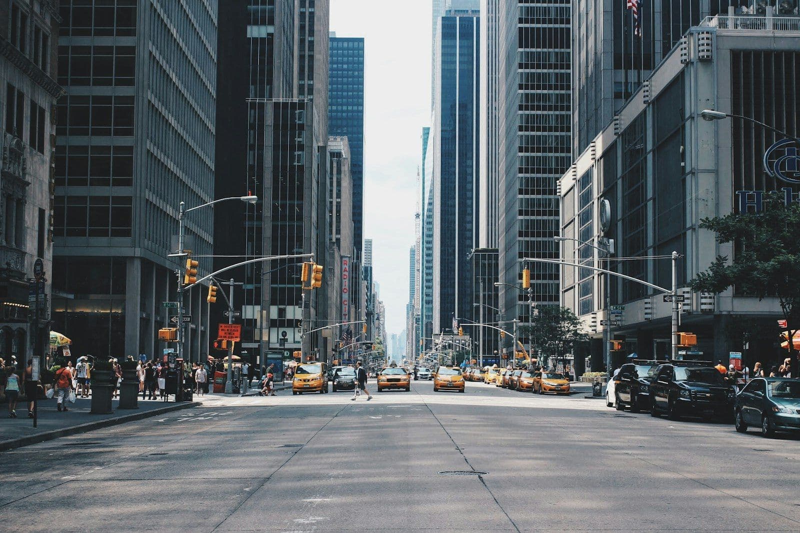
Planning & urbanism
We plan coherent territorial development, balancing urban pressure, environmental constraints and available resources. Our master plans rely on multi-scale GIS spatial analysis to arbitrate land use, anticipate growth and deliver operational, defensible documents to decision-makers.
- Master plans
- Territorial planning
- GIS spatial analysis
- Integrated development
 Geoscience & environment
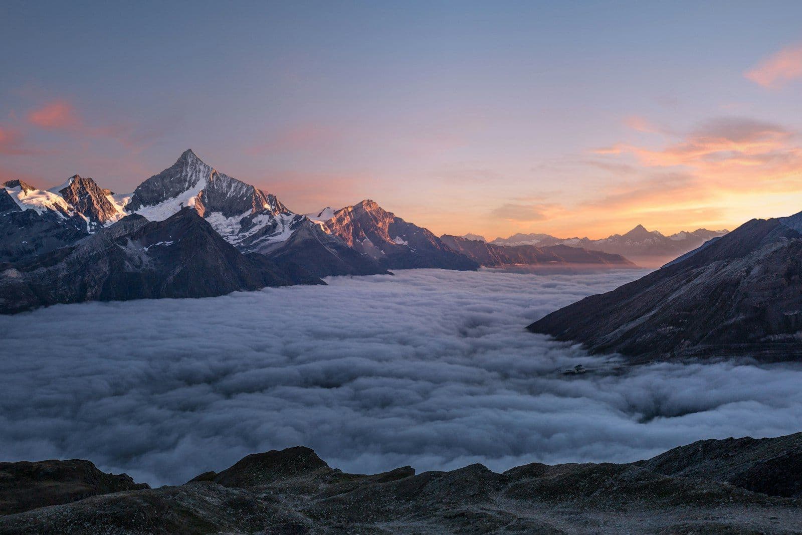
Geosciences & environment
We inform decisions through knowledge of the subsurface and ecosystems: geophysical imaging (ERT, TDEM), geological studies and environmental & social impact assessments (ESIA). From project feasibility to coastal protection, we de-risk projects technically and legally while controlling environmental impacts.
- ERT / TDEM geophysics
- Impact studies (ESIA)
- Coastal management
- Ecosystems
 Modelling & tools
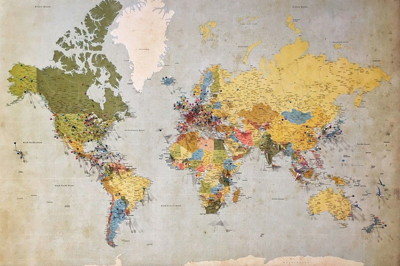
Modelling & digital tools
We put digital power at the service of decisions: MODFLOW and FEFLOW flow models, GIS, RTK drone remote sensing and Python data processing. These tools simulate scenarios, anticipate the impact of abstraction or development, and back every recommendation with reproducible results.
- MODFLOW / FEFLOW
- GIS & remote sensing
- RTK drone surveys
- Python & data
 Risk & adaptation
Risk, vulnerability & adaptation
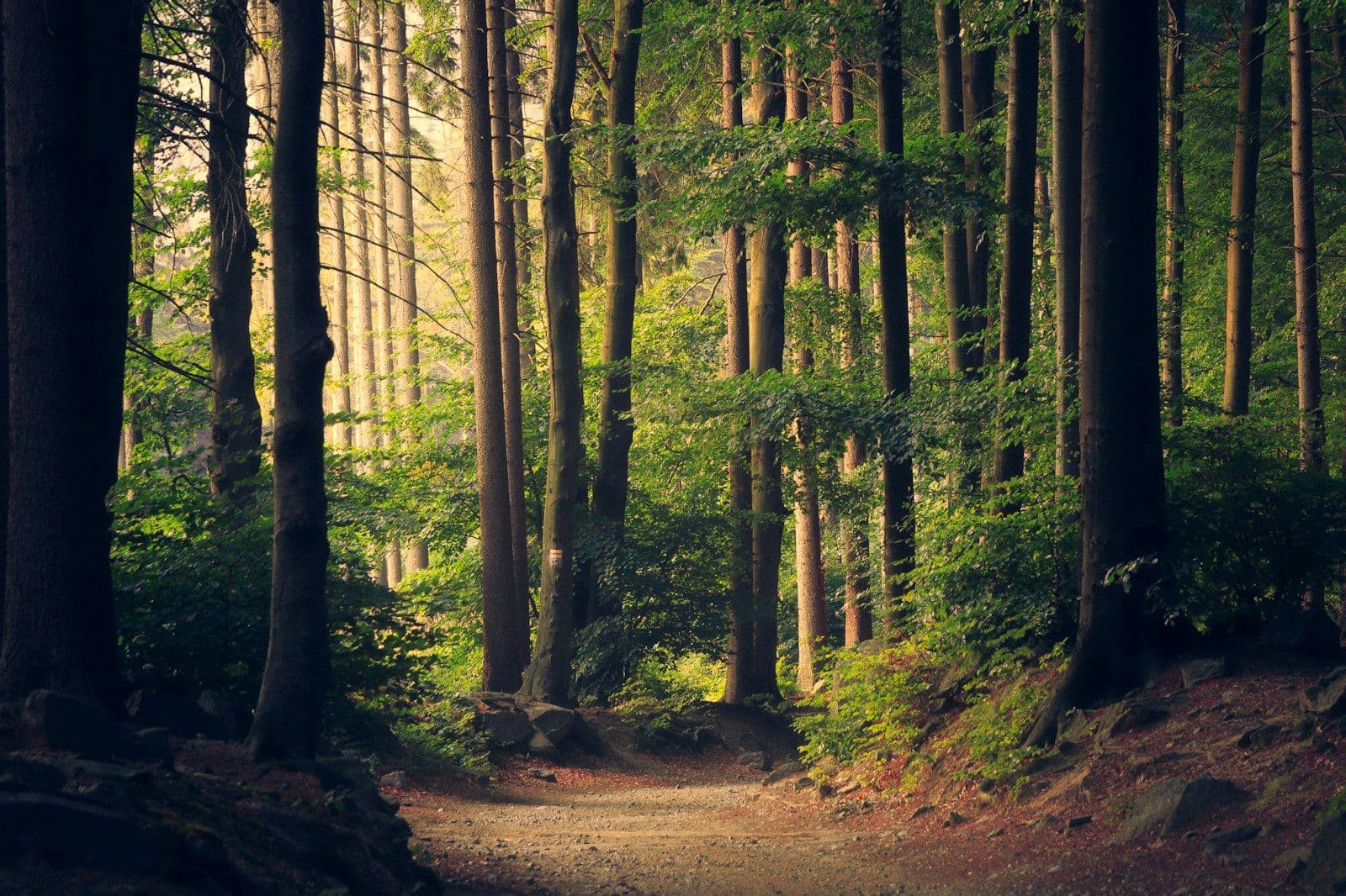
We assess and map hazards — flooding, rising water tables, saline intrusion, subsidence — to protect people, infrastructure and investments. Our diagnostics lead to concrete, prioritised adaptation strategies that integrate climate-change projections.
- Hazard mapping
- Saline intrusion
- Flooding
- Resilience strategies
 Training & capacity
Training & capacity building
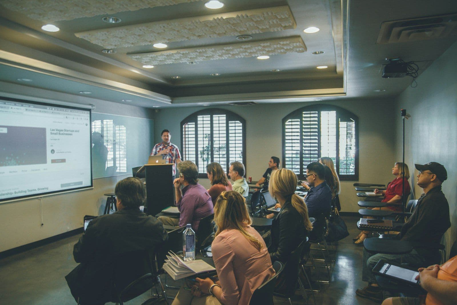
We durably transfer our know-how to institutions and technical offices so they gain autonomy over their own challenges. Tailored training, mentoring and operational tools: every engagement leaves behind teams able to lead and sustain the results.
- Tailored training
- Technical mentoring
- Skills transfer
- Operational tools
Working on a multidisciplinary project?
Our multidisciplinary team can bring several areas of expertise to bear at once on complex projects.
Discover our projects
Explore a selection of projects led by EAU-GEF in water, planning, environment, geosciences and territorial development.
Newsletter
Leave us your address and we will write to you.