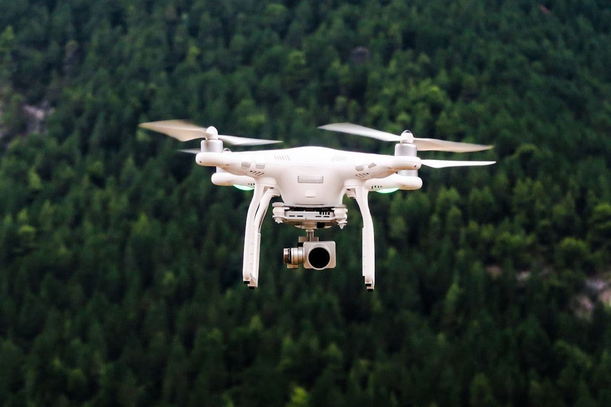
Centimetric orthophotos, digital terrain models, multispectral monitoring: the RTK drone has become an indispensable field tool for environment and planning.
In just a few years, the drone has gone from gadget to measuring instrument. Coupled with RTK, it produces georeferenced data with precision comparable to classic topographic surveys, in a fraction of the time.
A range of uses
- Detailed mapping of floodplains and riverbanks
- Coastal erosion and shoreline monitoring
- Vegetation cover diagnosis (multispectral indices)
- Stockpile volumetry and site monitoring
Integration into GIS
The drone's strength emerges once data are integrated into the GIS: overlaid on existing layers, they feed diagnostics and models with unmatched freshness.
From image to information
The value of a flight lies not in the raw image but in its processing: georeferenced orthomosaics, digital surface models and multispectral indices turn thousands of shots into genuinely usable layers. It is this chain, from sensor to map, that makes the drone a fully-fledged scientific instrument.
“The drone does not replace the expert's eye: it gives it new acuity and scale.”